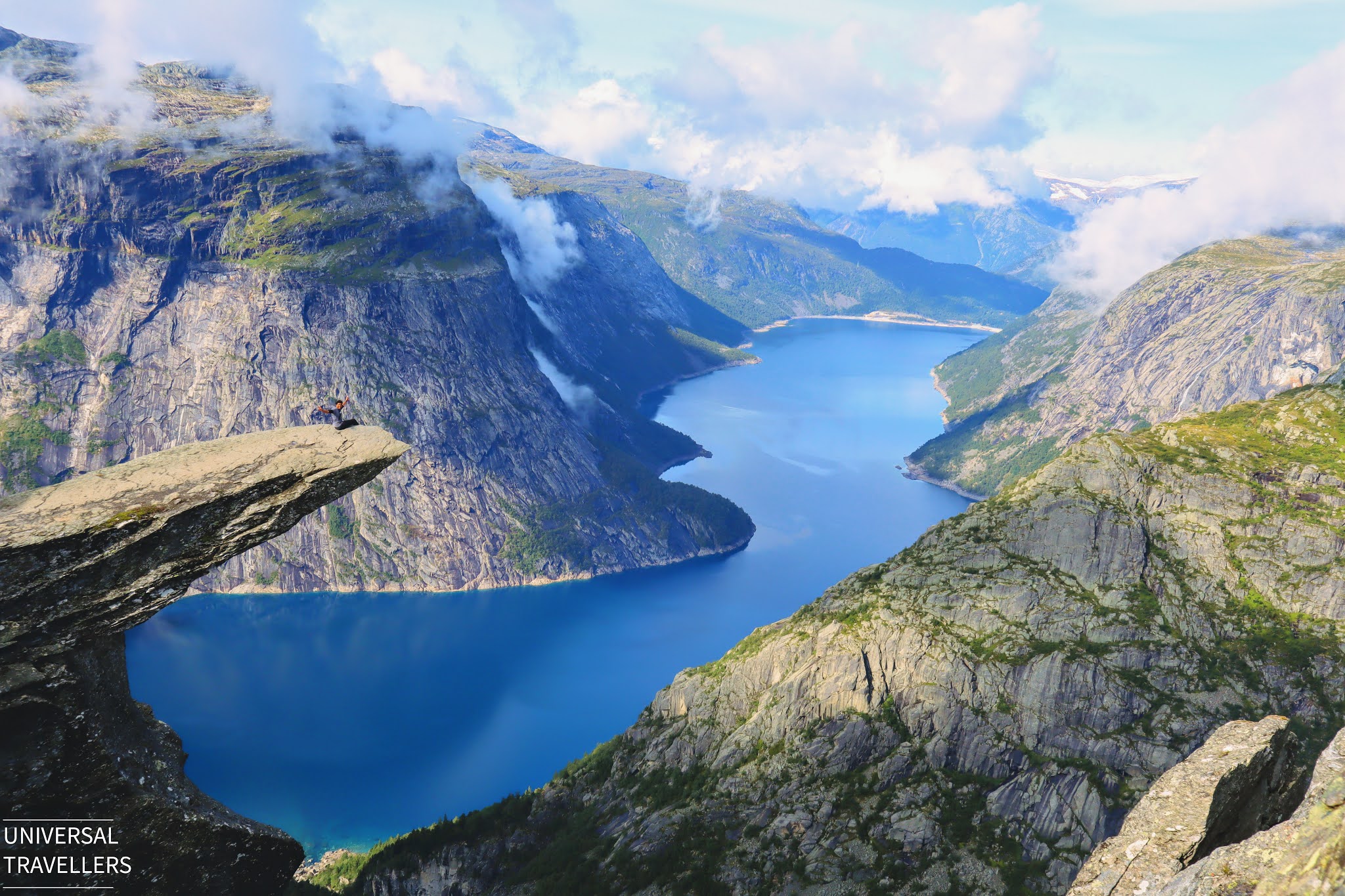
Trolltunga is truly one of the most scenic treks in Norway, where you can sit beside the cliff (Troll’s tongue) and enjoy for hours. Trolltunga was our definitive hike in Norway and worth every step until reaching the cliff.
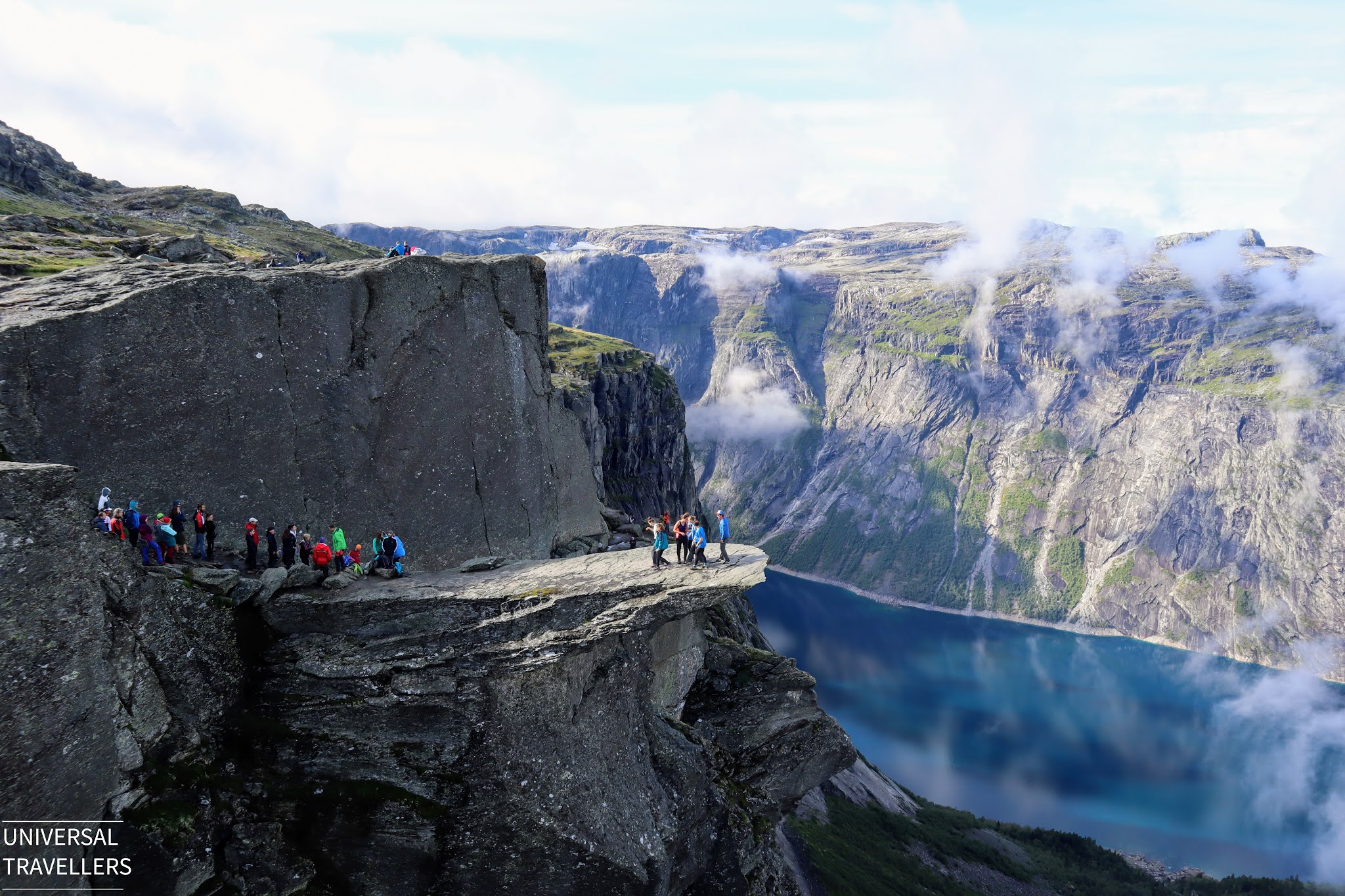
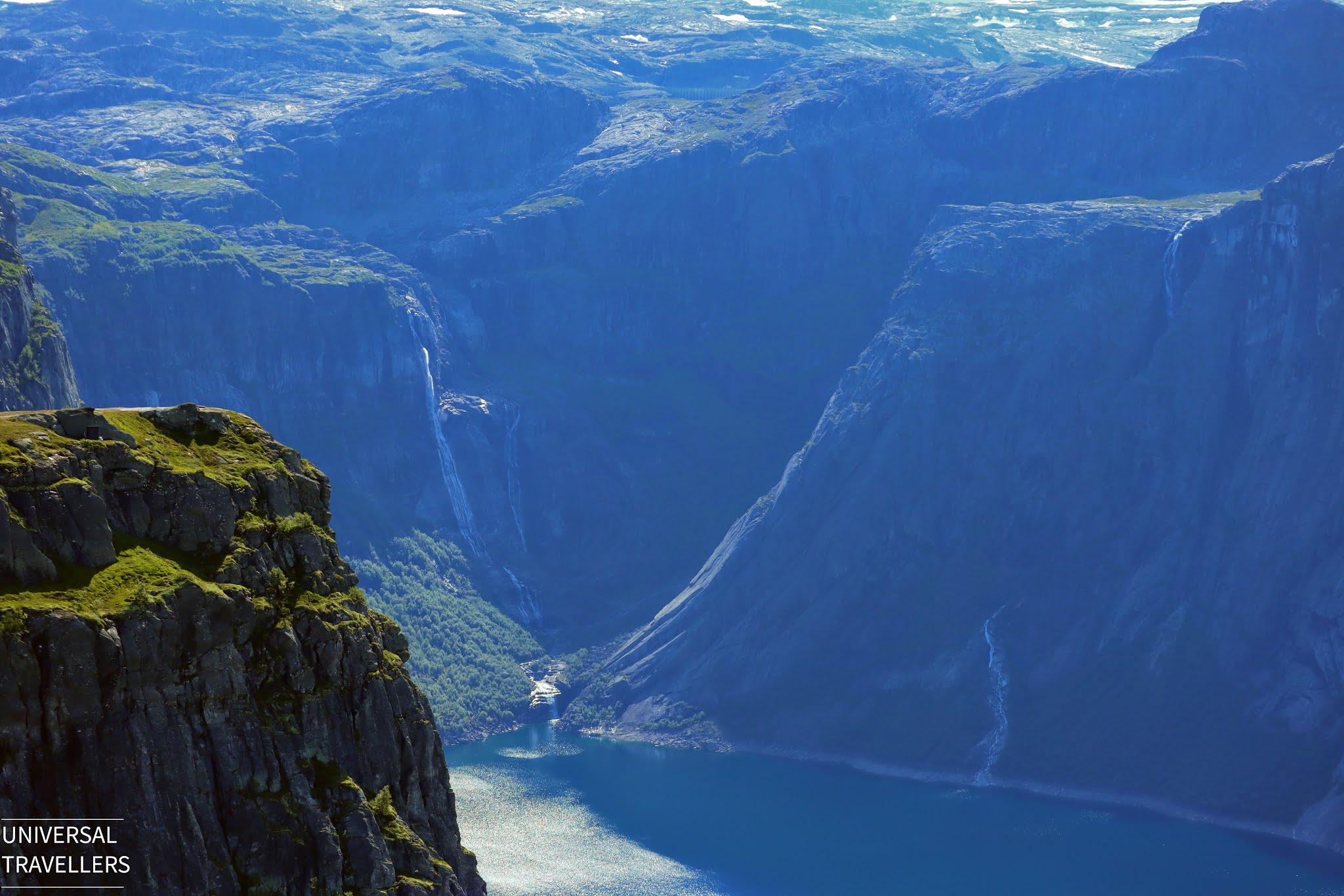
This exceptional precipice protrudes out horizontally from the mountain, into the free air above the Lake Ringedalsvatnet and it gives a remarkable and panoramic view of the fjord, from the summit point.
Trek at a Glance
Location: Vestland, Norway
Distance: 20 km (round-trip hike, from the trailhead near Mågelitopp (P3) parking area)
Time: 7 - 10 hours (round-trip hike, from the trailhead near Mågelitopp (P3) parking area)
Difficulty Level: Moderate to Challenging
Elevation: Around 1,100 meters above sea level
Alternative Trailheads
If you take the main trailhead in Skjeggedal (P2), the round-trip hike is 28 kilometres with a total ascent of almost 1200 metres, so you may need to be prepared for a hike of 10–12 hours including breaks.
Also there is another trailhead starting from Tyssedal (P1), the round-trip hike is 40 kilometres with a total ascent of almost 2000 metres, so you may need to be prepared for a hike of 15 hours including breaks.
What Time of the Year is Best to Visit Trolltunga?
This actually depends on your seasonal preference and trekking experience. We two did the trekking during August 2019, without a guide and it was the summertime in Norway.
If you plan to hike Trolltunga, it is better to schedule a date depending on the following recommended information.
Generally, hiking season lasts from 1st June to 31st August. Guided hiking is recommended, but experienced hikers can go on their own. Start your hike before 8 am to make sure you’ll get back before it gets dark.
In the winter season from 1st October to 31st May, it is recommended to always go with a guide. Several companies offer guided snowshoe or skiing trips so that you can enjoy the view of a snow-clad Trolltunga.
What to Wear?
As we reside in the tropical region, much cold weather gives us a little discomposure while travelling. Besides, we heard that weather in Trolltunga tends to differ at any given time. Hence, we got ready with our thermal wears, down jackets (wind proof and waterproof), hiking trousers, beanies, gloves and hiking shoes (waterproof). We are glad that we were able to find all the suitable clothing from The North Face .
Additionally, we bought hiking poles but after doing few hiking and climbing in Lofoten Islands, we though we can manage without those. But if you feel difficult to trek a long distance, it is supportive to have hiking poles. So, it’s up to your choice.
What Types of Food are More Useful?
During our preplanning, we found that people has taken quite a large amount of food. Also, we were advised to take loads of food and water by some of the local people and guides we met during our Lofoten road trip. We didn’t consume much food, but we were ready with chocolates, granola bars, biscuits, banana, tea and plenty of water. Banana helped a lot to keep our energy throughout the hike.
Even though we did not feel much hungry during the hike, there can have days that you will need more food depending on the fluctuating weather conditions, time of the day and time taken for the hike, so it is advisable to be prepared with considerable amount of energy boosting food and water.
What if You Run Out of Water?
You can fill your water bottles in Skjeggedal, by the P2 parking lot. During the hike if you run out of water, you may can refill their bottles from the streams in the mountains. The best and safest water is uphill and far away from the cabins. There is no guarantee on the safety of water, so, it is always better to fill water from a running stream than from a lake.
Any Toilets Available on the Trail?
There are no public toilets along the hiking trails. It is better to use the toilets at the parking lots in Skjeggedal or Tyssedal before starting your long hike up to Trolltunga.
How to Find a Car Park?
If you plan a hike to Trolltunga and coming by your/rental vehicle, you can check the possibility and do advance booking for Mågelitopp (P3) car park. This car park is only available for pre-booking and the capacity of parking area is 30 nos. of guest vehicles.
If the parking space is full here or else if you prefer to start the hike from the main trailhead, you can park at Skjeggedal (P2). No pre booking is needed for this car park and you can pay on the machine before hiking. Parking capacity of this car park is 180 nos. of vehicles. If you park in P2 you can reserve a seat in the shuttle bus going from P2 to P3, from here.
If there is no space available at Skjeggedal (P2), do not worry because still you can park your vehicle at Tyssedal (P1) and
take a shuttle bus to Skjeggedal (P2).
What if You Do Not Have Your/Rental Vehicle?
If you are not coming by your/rental vehicle, you can take the public transportation from Oslo, Bergen, Voss or Stavanger to Odda and from there can take the shuttle bus to Mågelitopp (P3) or Skjeggedal (P2) or Tyssedal (P1) depending on your preference trail head to start the hike.
Distances to Trolltunga
Haugesund (2.5 hours)
Bergen (3 hours)
Stavanger (3.5 - 4 hours)
Oslo (5 - 6 hours)
Travel from Bergen to Odda
Take bus 930 (Go to skyss and choose area Hardanger and Voss).
Take bus 740 and 760 (Go to skyss and choose area Hardanger and Voss).
Take Hardangerfjord Express Boat from Bergen to Rosendal and bus 760 from Rosendal to Odda.
Travel from Oslo to Odda
Take train from Oslo to Voss (pre-book using vy.no) and take bus 990 from Voss to Odda (Go to skyss and choose area Hardanger and Voss).
Go Trolltunga and Oslo by bus gofjords.com
Travel from Stavanger to Odda
For more and updated information on car parking, shuttle bus service availability and their charges and public transportation please check the details in Trolltunga The Official Website.
The Day before the Trekking
We planned this as a one-day trek and we wanted to start at earliest possible, so that we could save some more time to spend at the top of Trolltunga, as well to roam around the town area after the hike. So, the day before the trek, we drove all the way from Skei to Tyssedal. We visited the Flåm, did the hike at Vøringfossen waterfall and stayed the night at a house in Tyssedal which we booked through airbnb. From here to Mågelitopp (P3) parking area the distance is around 10.8 kilometres.
There are plenty of options to choose depending on your need. You can either choose to stay in an Airbnb home near P2 to avoid the 10 kliometres drive before starting the hike. But as we found out food options are limited. However, there are places you can do some light cooking.
For details on how we got the rental car, you can check in additional information at the bottom of this article.
THE DAY HIKE…
How We Reached the Car Park?
The Mågelitopp (P3) car park opens at 6.00 a.m. so that was the earliest time we could start. We booked the parking slot in advance through Trolltunga Norway Website, so we didn’t have to worry on the day of the hike looking for a place to park. We paid NOK 600 for the car park.
It took only about 25 minutes for us to come to the Mågelitopp (P3) car park from the place we stayed at Tyssedal. We followed the road signs to Trolltunga. It was raining a little heavily and also the surrounding was little dark and misty. Hence, the driving was little difficult until we came to Skjeggedal (P2). Upon arrival in Skjeggedal (P2), we showed our booking reference to the gate security staff and then followed the route to P3. It was not difficult to find and the staff there was friendly.
Road from Skjeggedal (P2) to Mågelitopp (P3) seemed quite difficult, but we manage to drive without any difficulty (may be because we have experience of driving in steep and narrow roads). It's a single lane with no space for turning around and hard to backing down the vehicle. The road is narrow and steep, having 17 hairpin turns and a maximum inclination of 17%. So, if you drive on your own be careful and drive safely.
Some people says it is a must to have a 4x4 vehicle if you go to Mågelitopp (P3). We actually drove a hatchback Volvo car without any difficulty and there was no such restriction.
How Our Trekking Started?
Around 6.00 a.m. we reached the Mågelitopp (P3) car park. By that time, it was drizzling a little. So, we put on the backpack covers and started the hike. From this car park to the “1 kilometre” sign board there was average 500 meters distance. There were few other couples who came around that time.
Walking through the Terrains
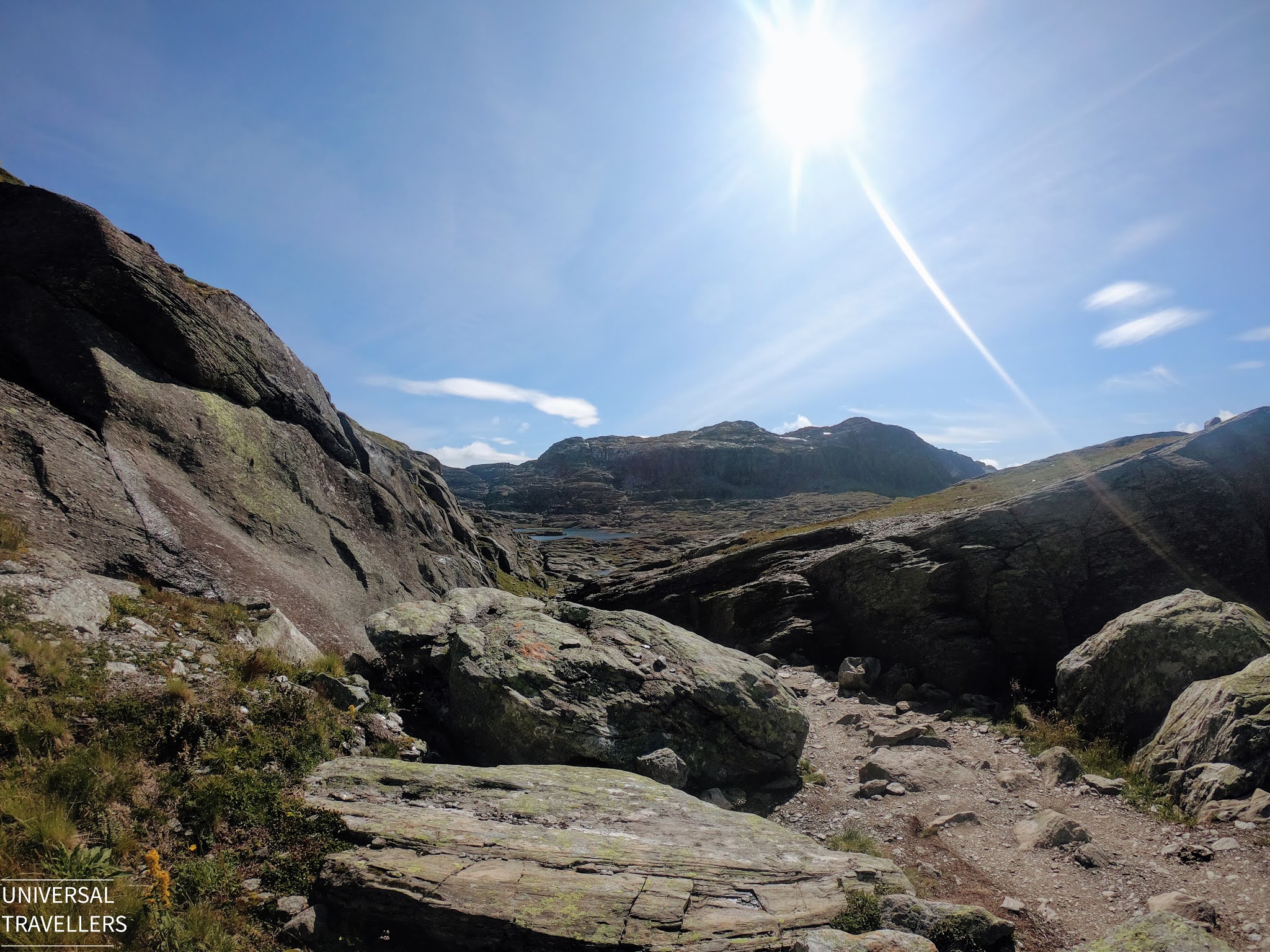
First few meters were not difficult since it was early morning and also the drizzling was fading away. After completing 2 kilometres the path was little difficult with ridge and furrows around the place. So, it was little tiring, but the weather was fine and supportive.
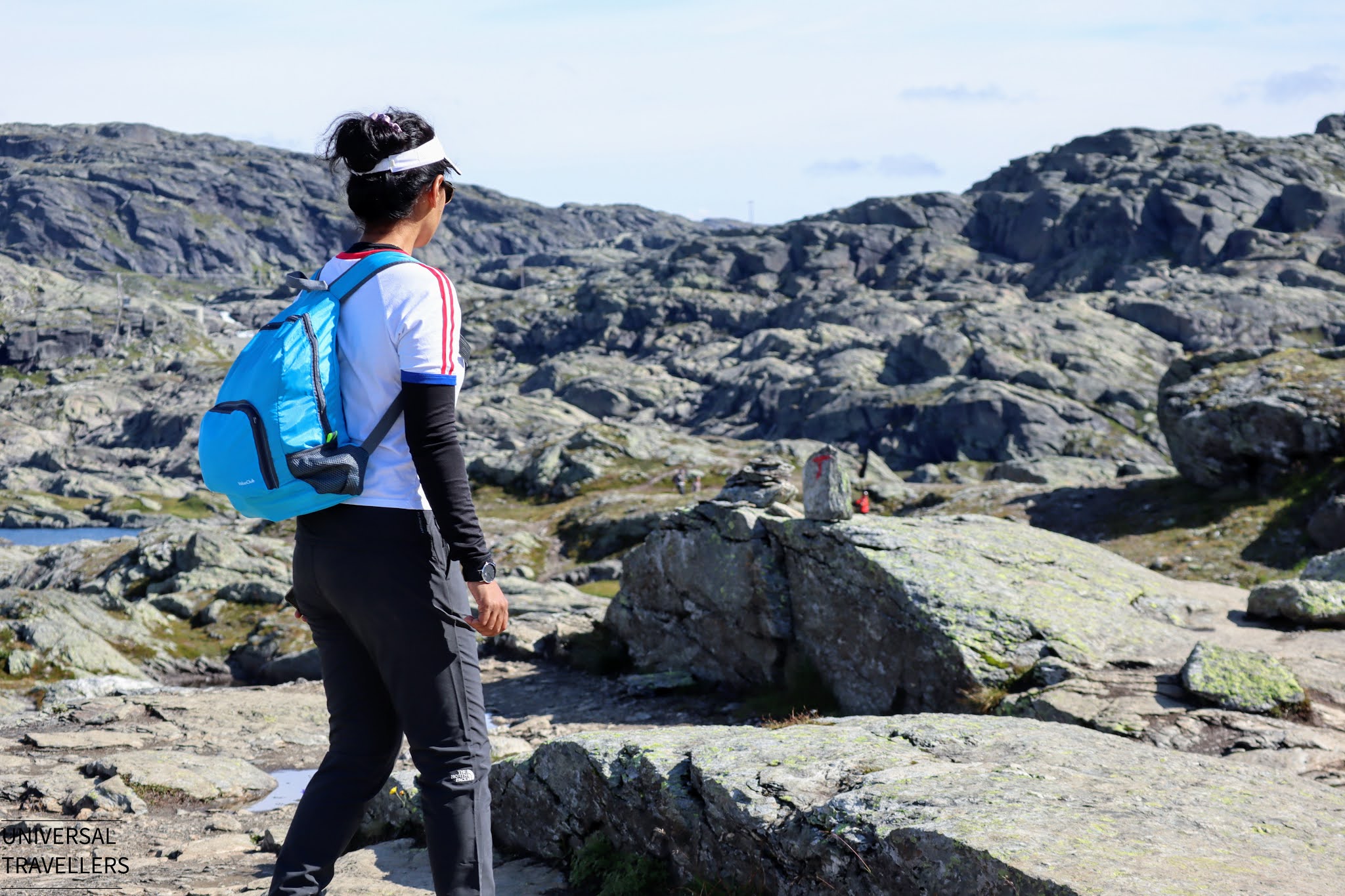
The path was easy to find as there were sign boards that showed the remaining distance to both Trolltunga and back to the trailhead. Normally you can see sign boards at each kilometre starting point. Also, the direction was marked in red colour arrows on most of the rocks along the trail so, even if you feel that you have missed the direction you can look for the arrow marks and find the path. It was not difficult for us as there were few other trekkers in front of us.
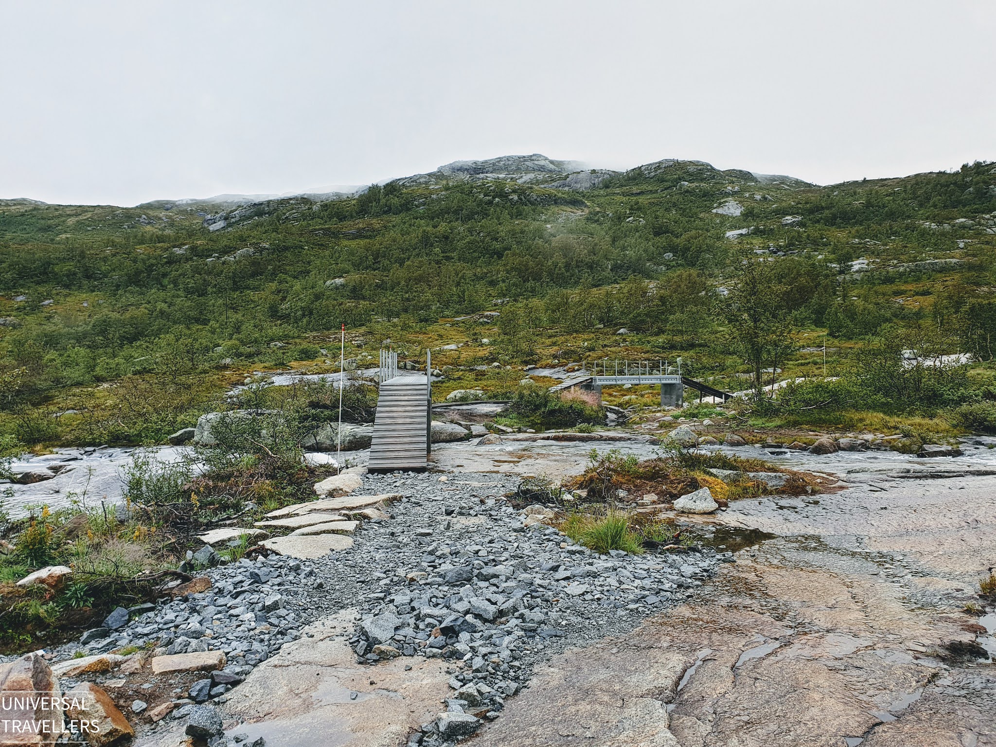
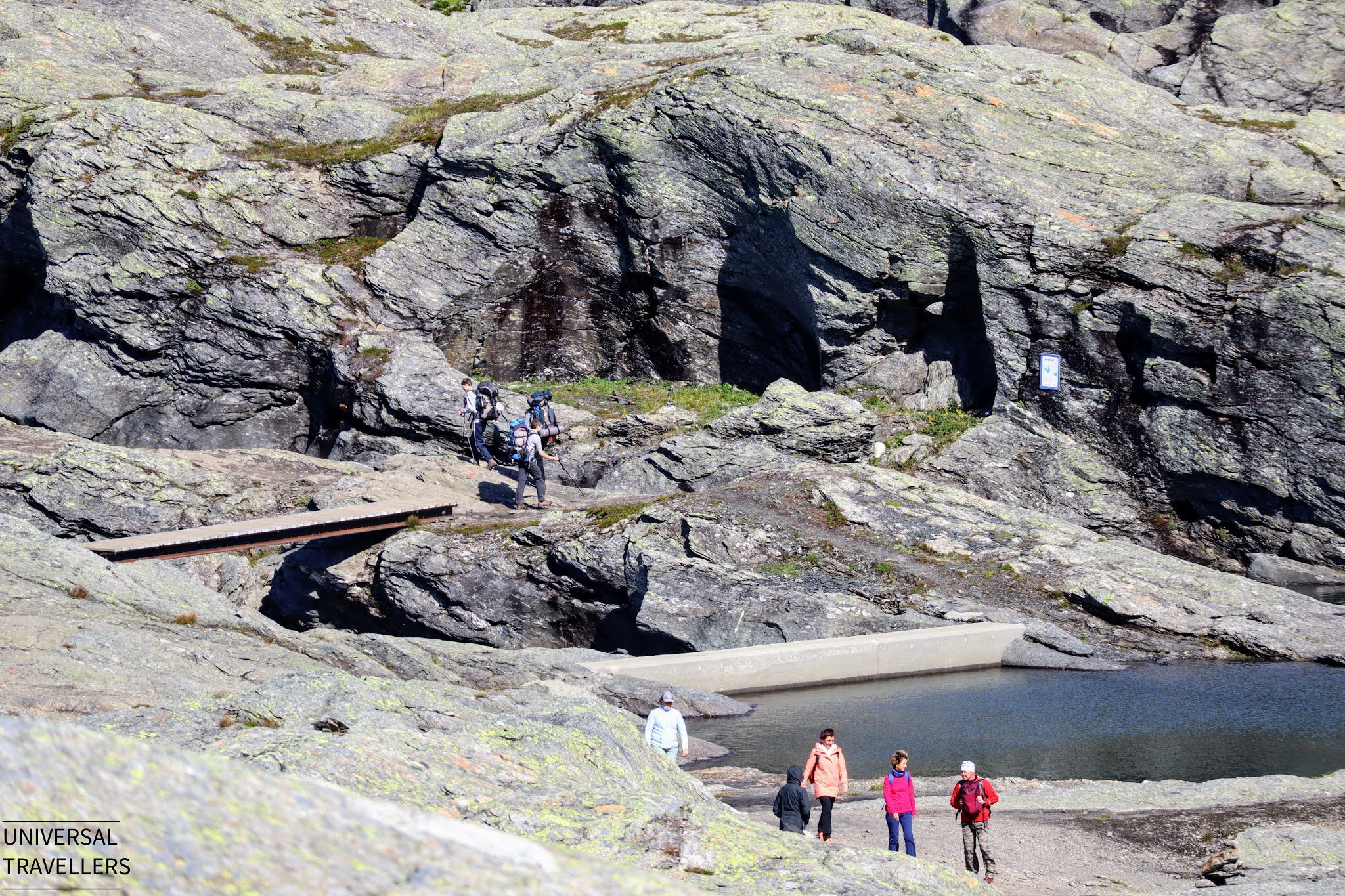
Some parts of the trail were muddy, and some rock climbs were slippery but with the hiking shoes we were able to manage the difficulty. If you visit during the summertime you may experience this this due to high number of travelers. Along the trail there were small wood bridges built to cross the muddy areas and some water streams.
On the flat terrain we walked really fast and when there were elevations craggy areas, we had to slow down a little.
Until we reach the final 2-3 kilometres, the surrounding was not much clear. It was foggy and misty all around and we only could observe few meters away so, we walked as fast as we could.
We met some of the hikers who have gone for camping on the previous day and were waiting to observe the sunrise at the cliff. They told us that it was cloudy all over at the summit point, so cannot see anything clearly, so no point of going there that day.
We really felt miserable because we have come a long way to see this. Anyway, we made up our mind and kept going forward to try our luck. After some time, we could observe a little sunlight coming through the clouds and that gave us some hope.
Reaching the Cliff
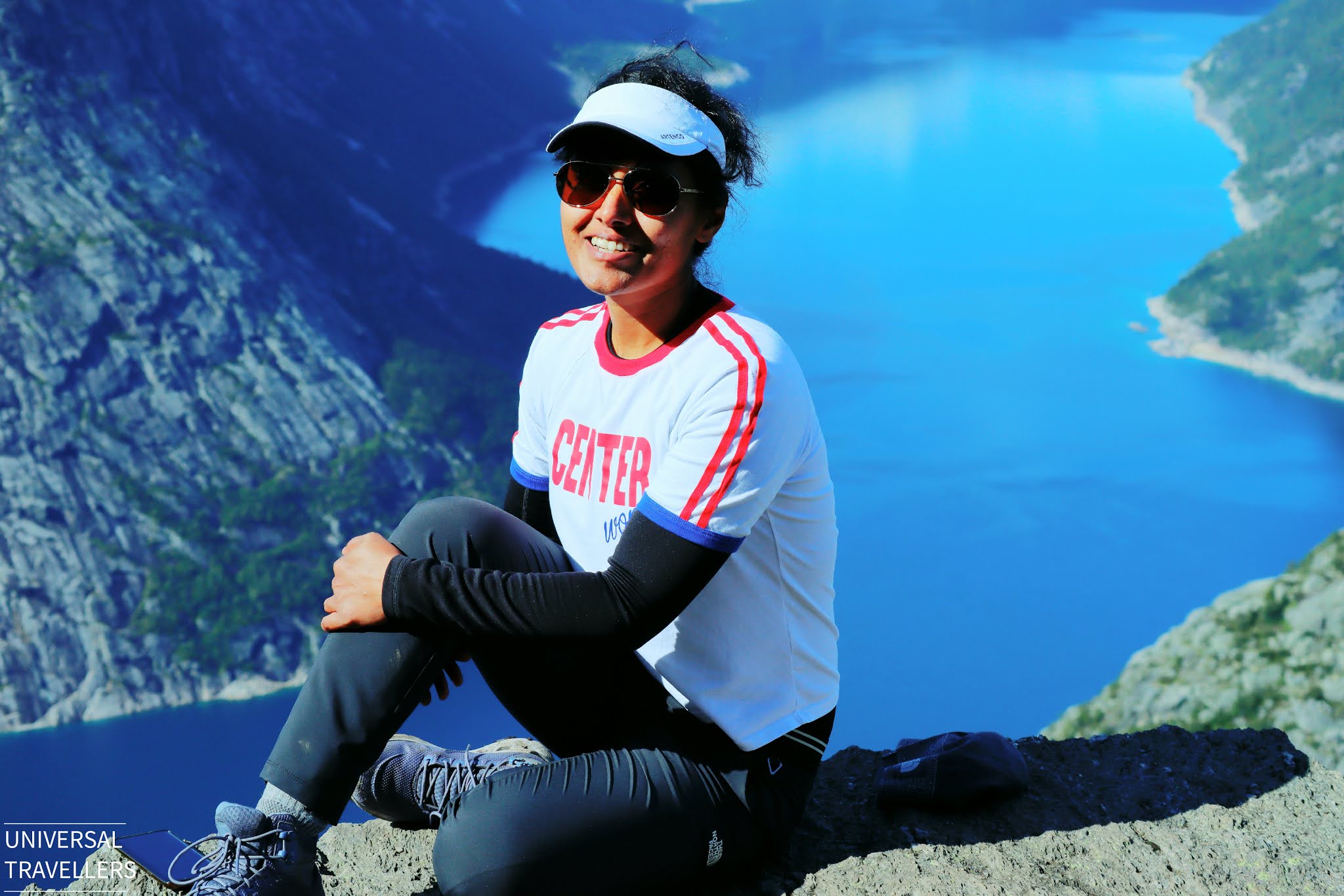
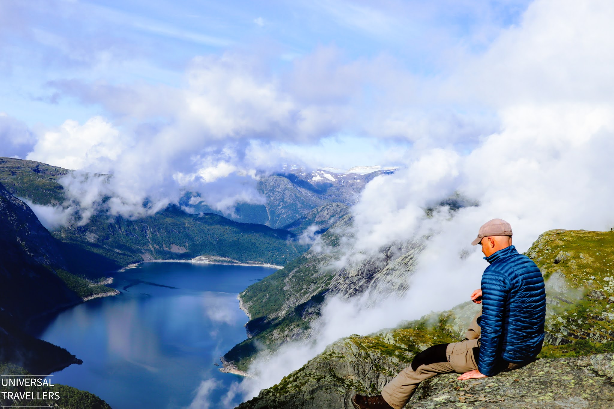
It took around 3.5 hours for us to reach the summit area. We were truly lucky as the clouds were gone, and it was a clear blue sky all over the cliff and the surrounding. We were able to capture the most beautiful panoramic fjord view in Norway. The view of Lake Ringedalsvatnet was elegant with the morning sun rays.
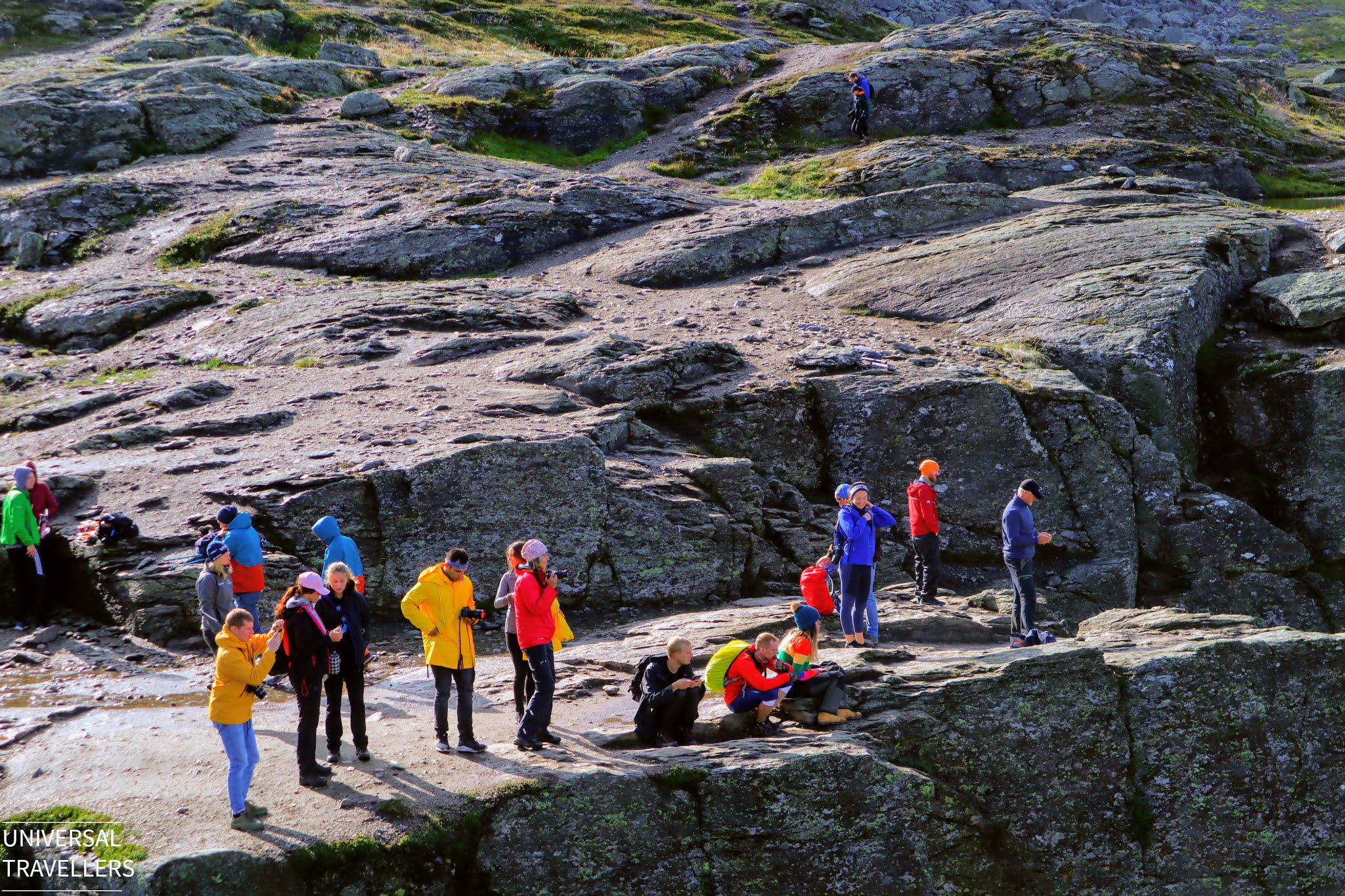
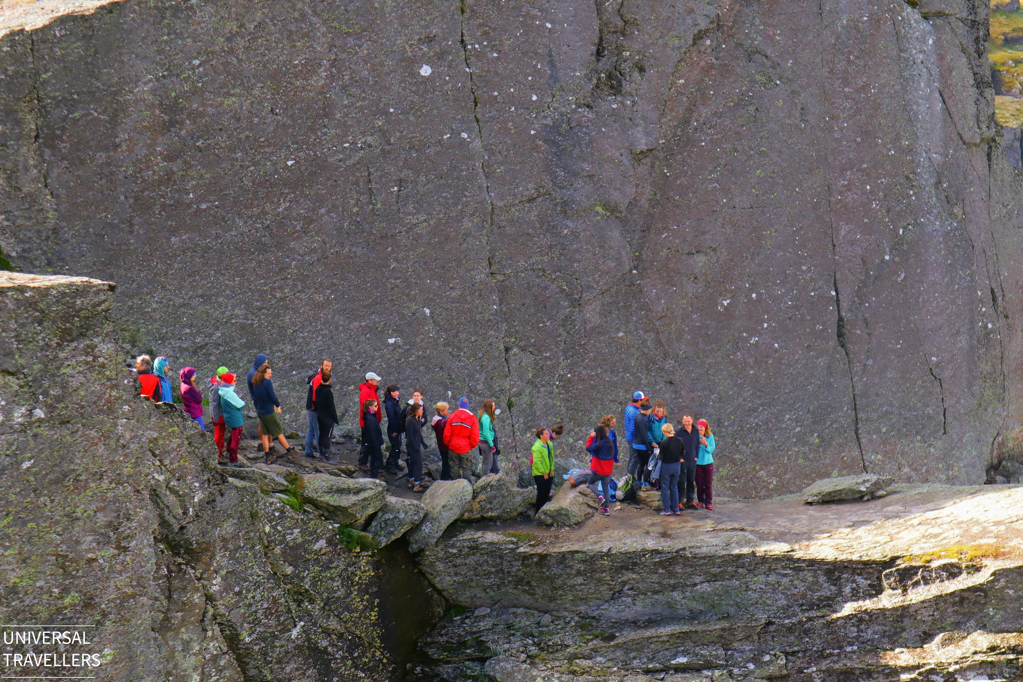
By that time, there were around 50 people at the summit area. Most of them were in the queue to take pictures on the cliff. Since it was still morning and less crowded, we only had to wait for like 15 minutes in the queue to take photos.
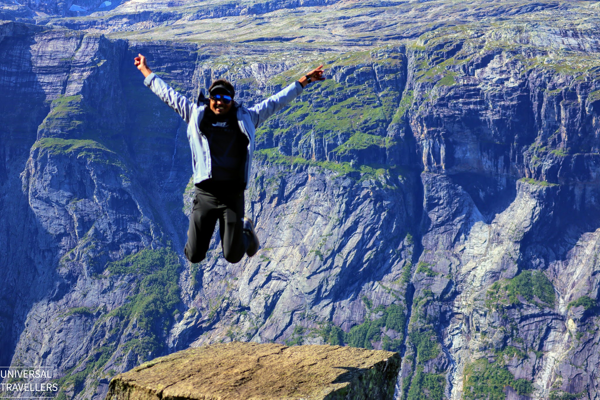
Since we went there as a couple, I went first near the edge of the tongue and then my husband Themiya went. Here you can see how we posed on the cliff.
Also, we captured the poses of some other travelers while adjusting the camera to get the best shot and you can see those below.
Generally, the weather in this area can change quickly. Therefore, it is better to have at least two days at your disposal to increase the chances of nice weather.
We sat beside the cliff and enjoyed the view for almost two hours while having some chocolate and tea.
Some of the trekkers have come with their dogs, so if you also thinking of getting your dog for the hike you also can give it a try. Generally small children below the age of 12 are not recommended to hike Trolltunga but we saw some children who have come (maybe they have experience in trekking long distances). Hence, if you have a kid below the age of 12 it is always better to check first before you come.
After spending some relaxing time at the summit, we started our return trek.
On Our Way Back
This was the time we had the chance to observe the path distinctly as the sky was entirely clear. Since we were able to see the panoramic view of Trolltunga and had a relaxing time at the summit, our return trek did not make us feel tiring.
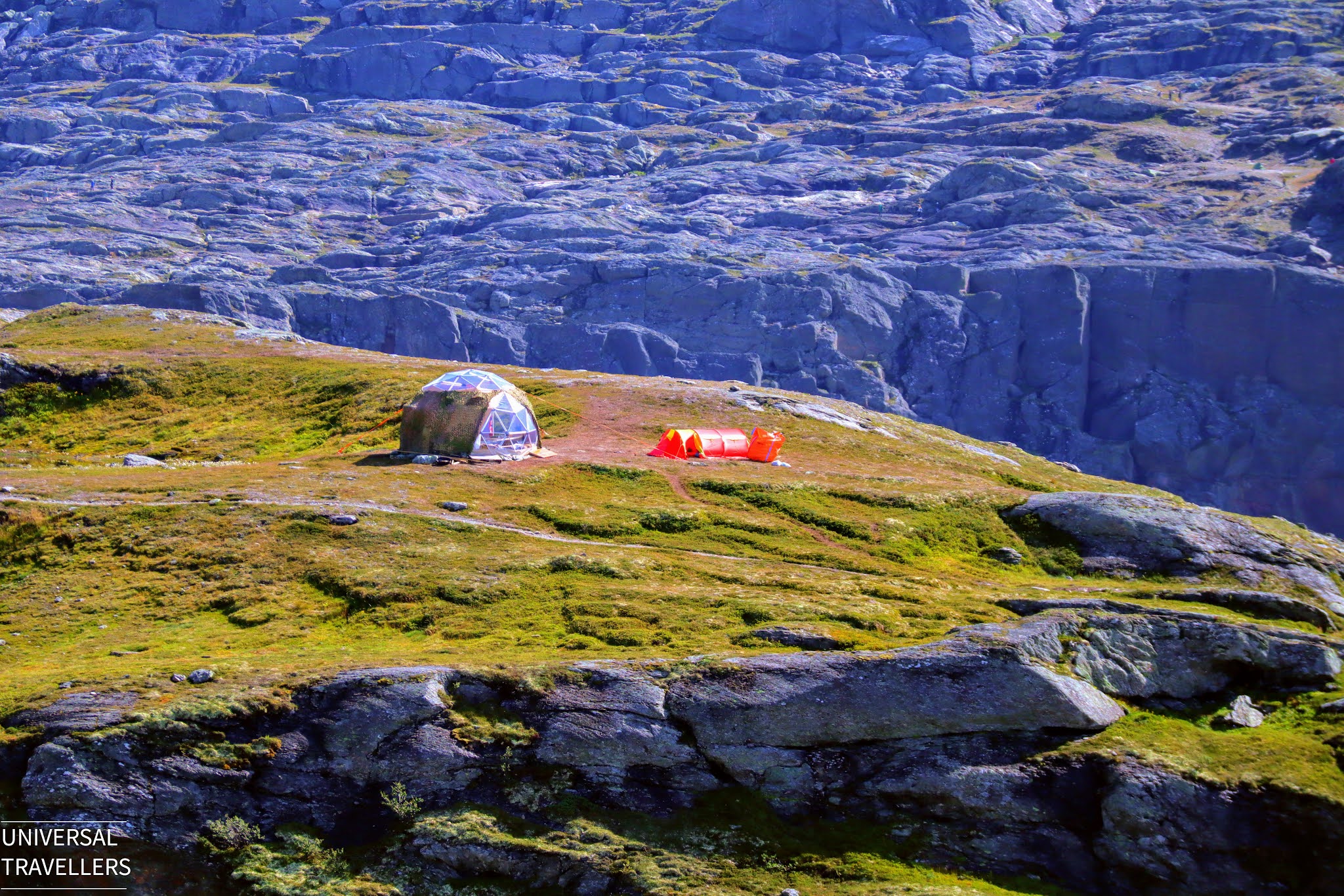
We came across with some of the hikers who went there for camping. If you also prefer to go for camping at Trolltunga, it is better to check the recommended areas before you reach. You can find further details on camping if you visit Trolltunga The Official Web Site.
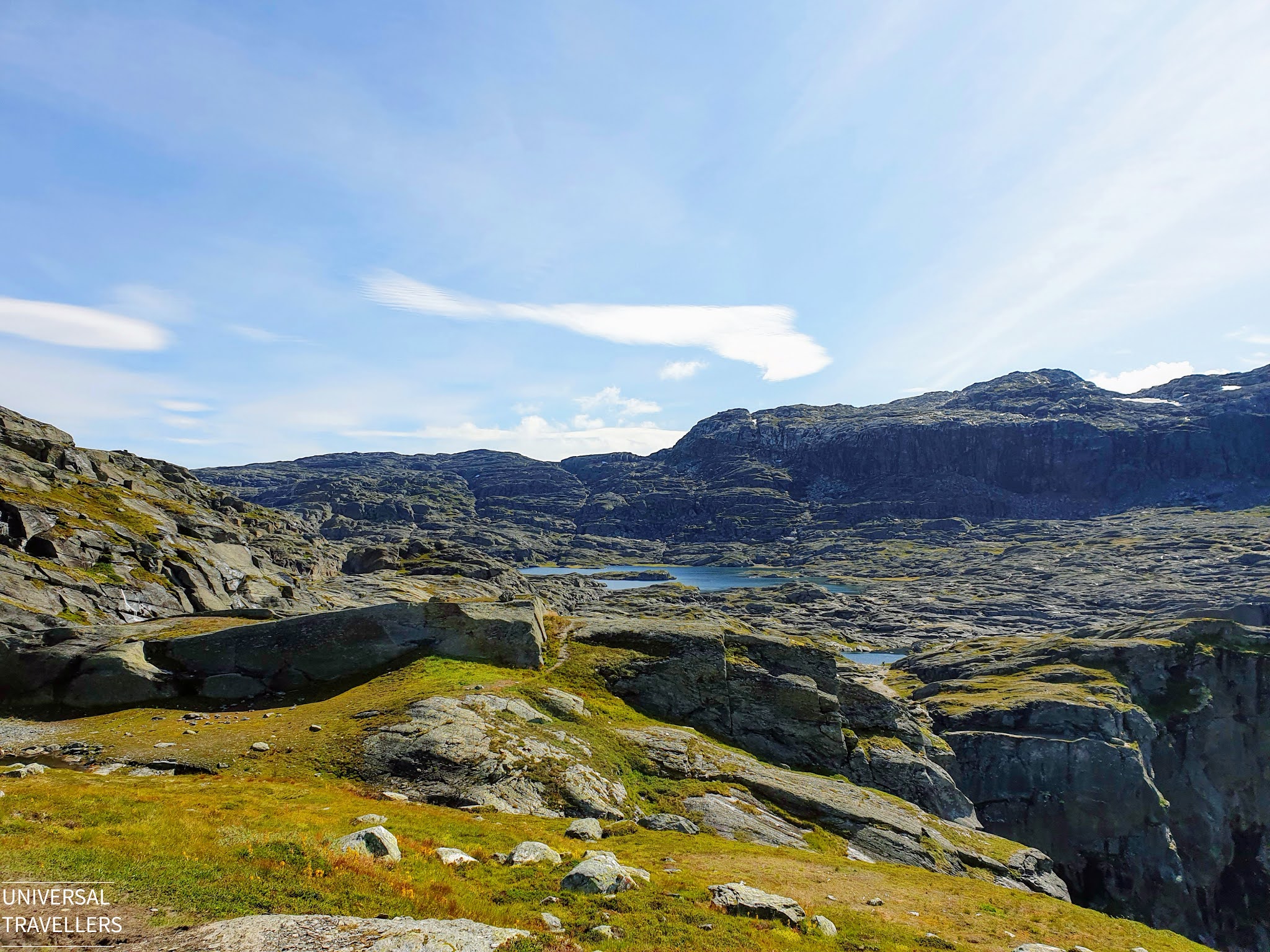
We stop at few points to eat and watch around. On our way back we could see the nice view of Lake Ringedalsvatnet, surrounding mountain range and some small waterfalls. So, the overall natural ambiance was fully covered during our hike. Anyway, we only took 3 hours to come back as we walked really fast and at some points we were running actually.
We returned back to Tyssedal and stayed the night at the same place. Next day morning we started our drive to Bergen.
Additional Information
How We Got Our Rental Car?
We decided to rent a car since our plan was to do a road trip from Trondheim to Bergen. We got the car from the SIXT car rental service at the Trondheim Airport and return it back to the same service at Bergen Airport. Instead of direct booking from the SIXT, we booked the car from the car rental platform Rhino Car Hire, since there were some discounts available at that time.
We booked a small hatchback car for a six-day drive and the rental fee was NOK 6787.63. Since we both were planning to drive, we paid NOK 250 for the additional driver. There was also a car insurance from Allianz and for that we paid SGD 49.50. If you are driving in Norway, it is advisable to get a car insurance as a safety precaution. By the time of collecting the car we got an upgrade to a hatchback Vovlo car and that was really good.
If you plan to get a rental vehicle for your trip in Norway, it is better to go for an auto gear car if you are not familiar with driving manual gear cars. In Norway most of the car rental services offer manual cars as default, so make sure to double check when you do the booking. Otherwise, it will be hard for you to drive in twisty roads in Norway.
Final Verdict
Trolltunga hike is long and demanding but the magnificent view is truly extraordinary. We hope you all enjoyed reading our experiences at Trolltunga and we would love to hear your experiences as well. Also, if you need further information, we are happy to help you. Please leave your comments below.
References










Comments
Post a Comment